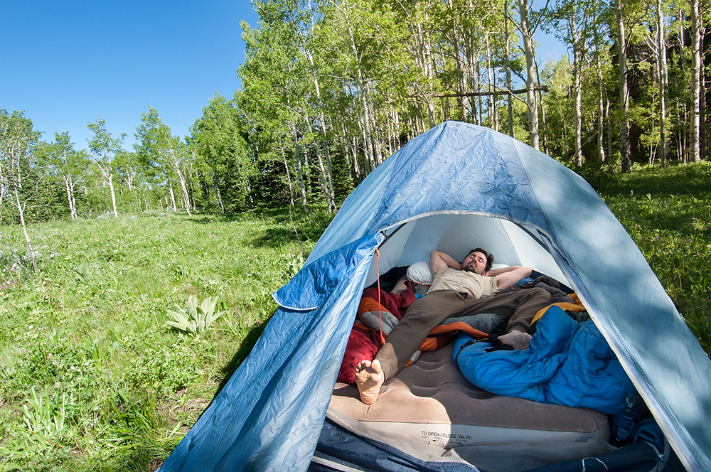
Waking up in the morning at our beautiful campsite an Aspen grove in White River National Forest, elevation about 10,000 feet. The plan . . . to spend several days up at high elevation — sleeping, hiking, caving — to get acclimated to it. So when we arrive in Yosemite, at 7,500 feet, it won’t kick our asses nearly as bad.
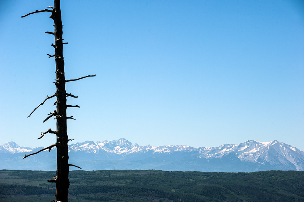
Our view from a day hike.
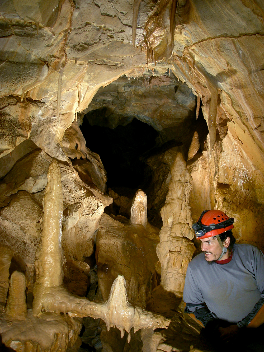
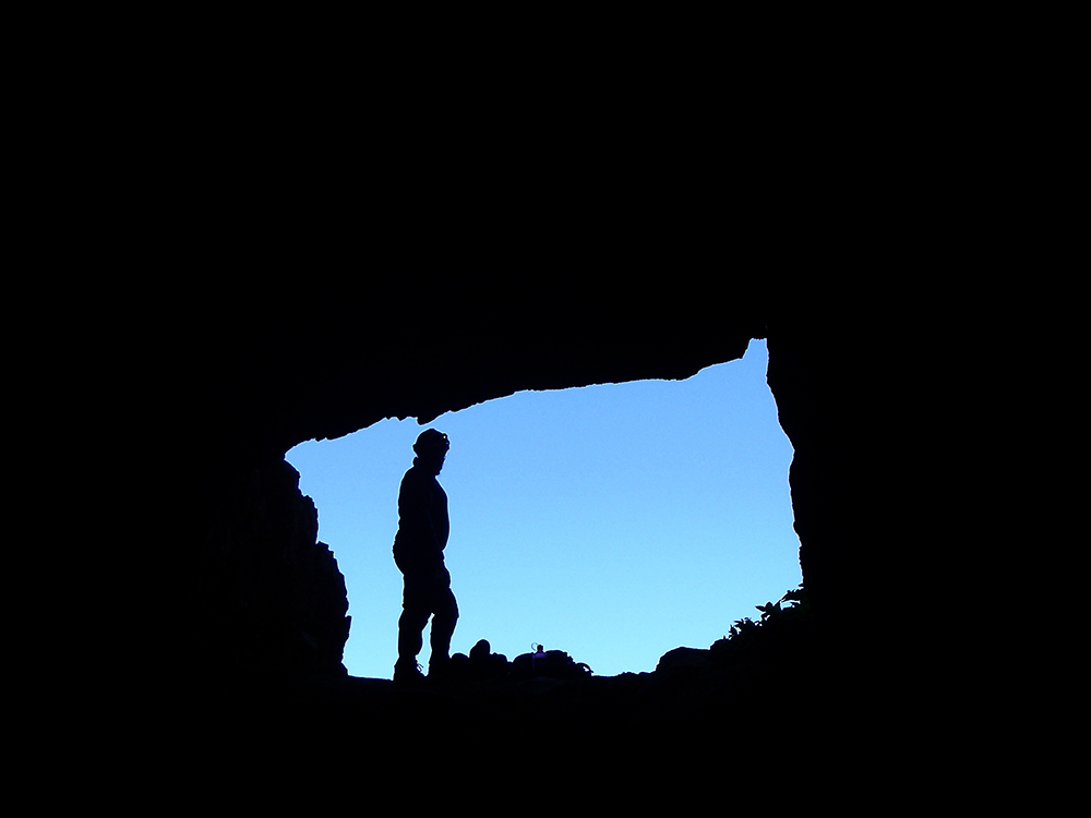
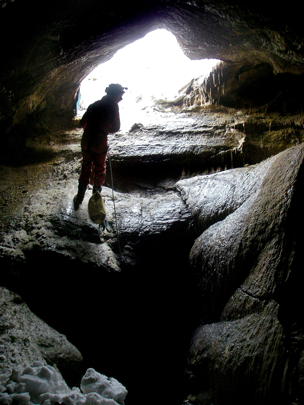
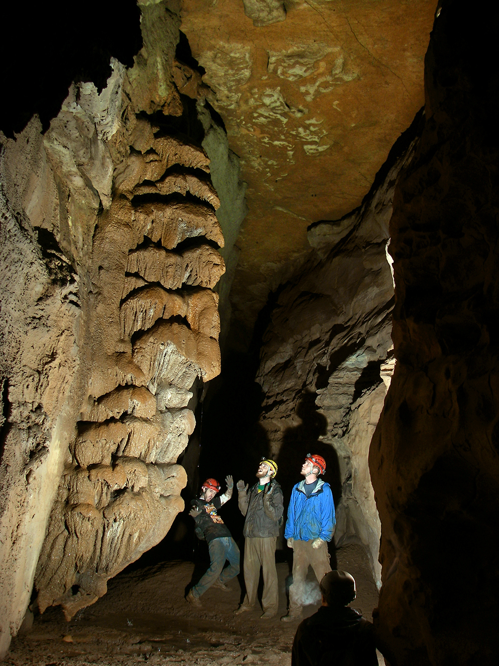
And then we got to go caving again with Ken Headrick. He meet up with us after work and took us into Groaning Cave, Colorado’s longest cave at 10 miles, for a short 2.5-hour trip.
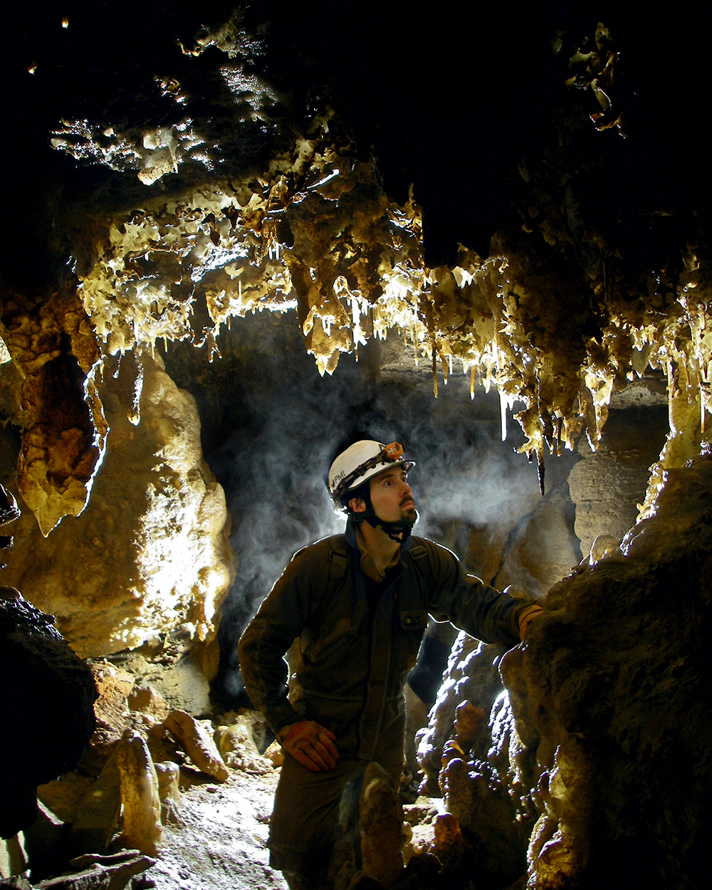
Meghan lights a massive flowstone wall in Cove Creek during a trip into Maxwelton Sink Cave. It was the first tourist trip allowed into the project cave since the WVCC closed it for White-Nose Syndrome. It was led by Gordon Cole and Larry Fisher.
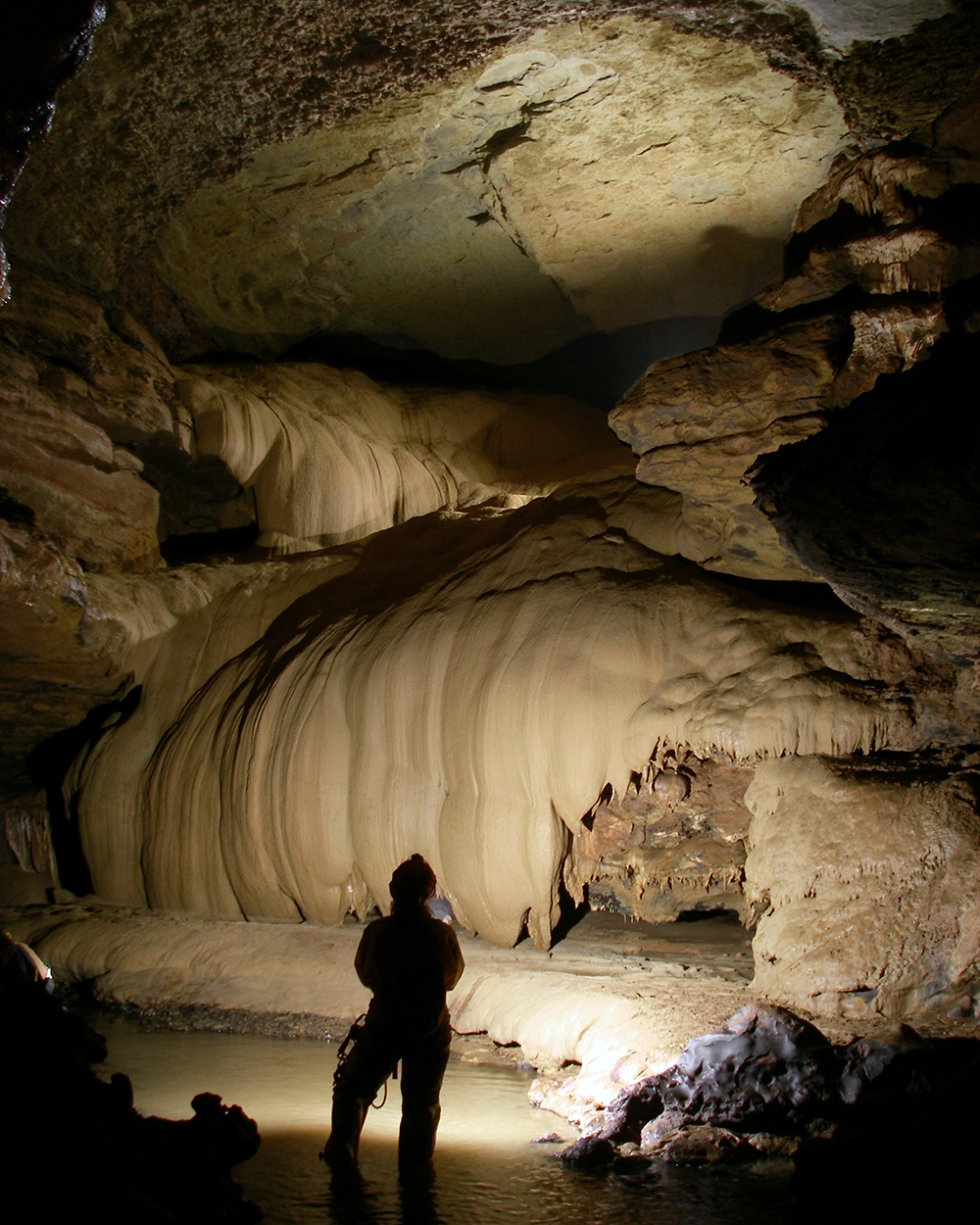
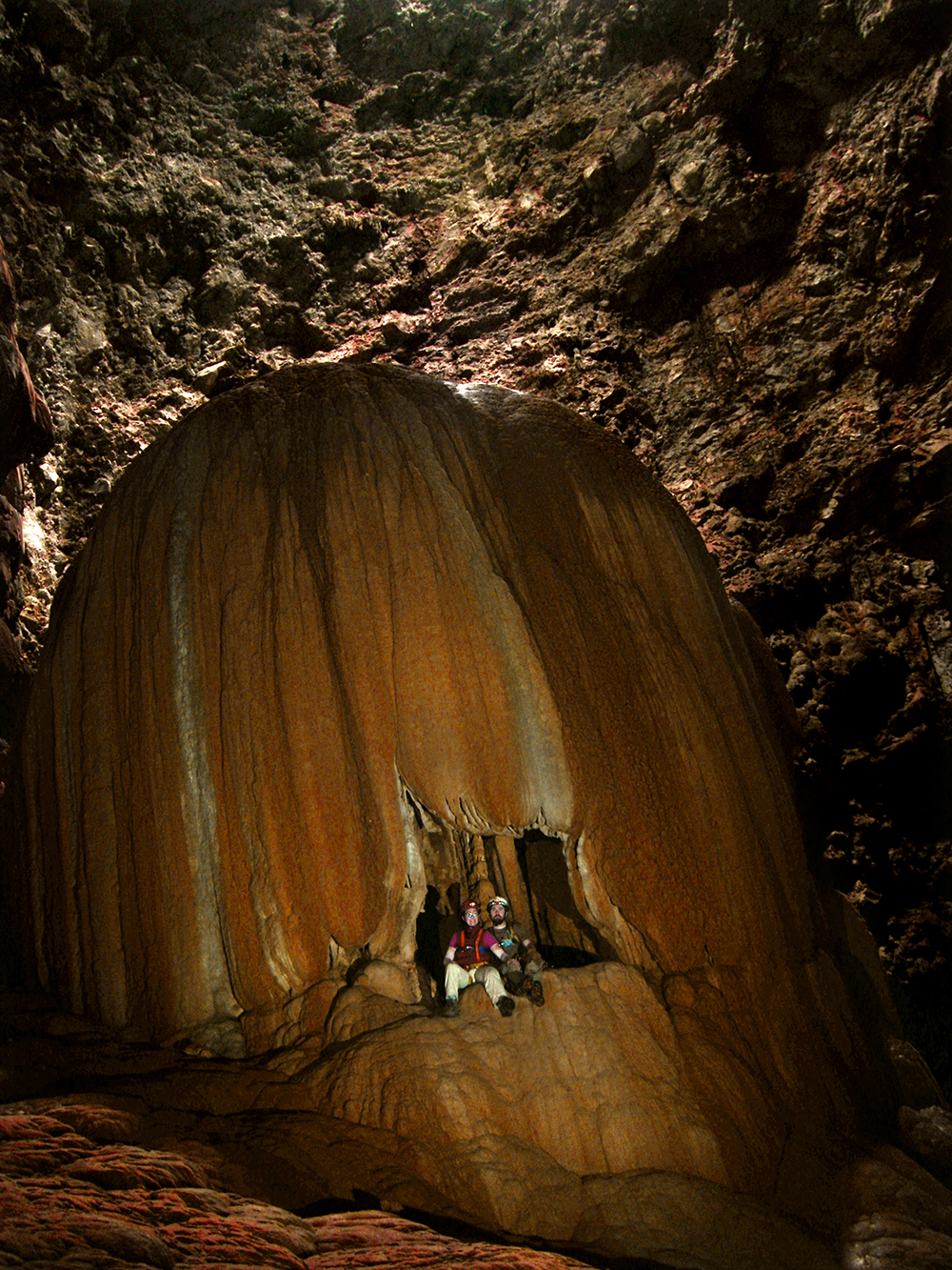
Below are some of the amazing aragonite formations seen in the Heaven Passage.
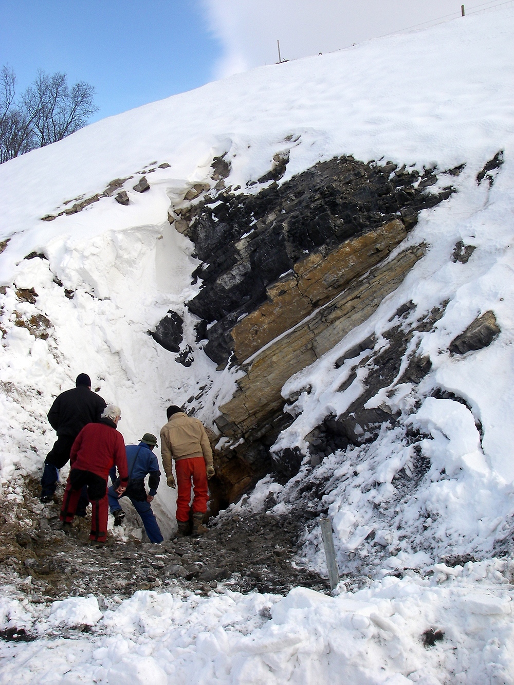
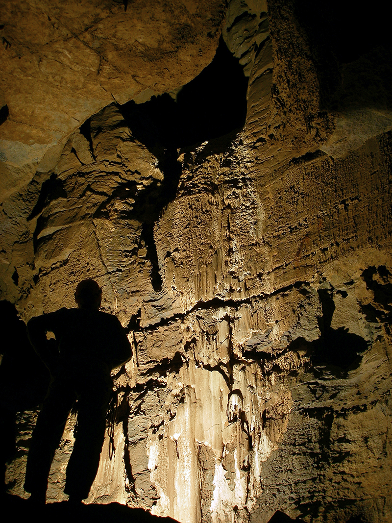
The main survey members look down a shaft that was dug open by West Virginia excavation crews blasting their way through a hill in Grant County, WV. When they found a cave, the site manager gave Bob Bennett a call to see what could be done about possibly checking out and surveying the cave to see where it went underground . . . a.k.a., to see if it would cause problems with building the highway later on.
So Bob made some calls and got together a survey team, which included me.
An article was written about our endeavors, you can read it here.
Scherr Crystal Cave Trip Report
by Chris Coates & Bob Bennett
The cave is developed near the top of a hill on New Creek Mountain about 2 miles North of Scherr, WV and about ½ mile east of Route 93. The arrowhead shaped entrance is about 5 feet wide and 9 feet long. The entrance immediately drops about 30 feet to the floor of the Entrance Room. The room is about 20 feet x 20 feet and is about 18 feet high and lowers to about 10 feet high to the back of the room. There is a very large flowstone mound that cascades down from near the ceiling just to the left of a slot. There are a few small formations that are scattered in the room.
Just offset from the entrance is a slot in the floor that drops about 10 feet to a larger room that the WVDOH said was big enough to set a 777 rock truck in. A hand line is helpful to get down the slope & 6 foot drop. There is a lot of breakdown and rubble lying in the slot. Most of the rubble probably came from the entrance area when the entrance was opened up and later stabilized.
The second room is about 20 feet long, 30 feet wide and 20 feet high. The room is shaped at an angle with the north side of the room 15 feet higher than the south side which seems to defy the dip of the bedrock. There is a ledge 10 feet up on the east side of the room with a body-sized hole that leads to the rest of the cave. There are some formations on the upper high side of the room.
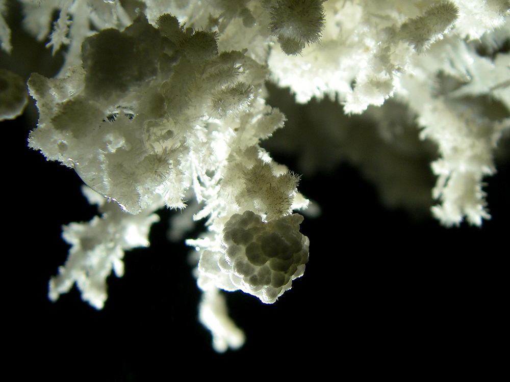
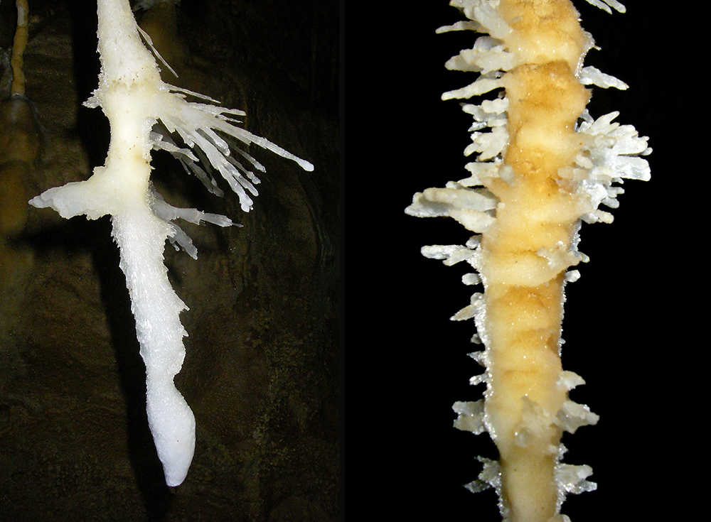
Once you squeeze through the hole you are in an area that is profusely decorated with aragonite crystals, frostwork, small bushes and gypsum flowers. The area is almost completely white.
Once you are through this area you are in another large room that again defies the dip of the bedrock. This room is 20 feet high, 20 feet wide and almost 20 feet long. Near the ceiling on the high side of the room is an opening that leads back to the second room. Again the high side of the passage contains formations. From this room is an 8-foot high and 5-foot wide passage that leads to more cave. To the left of the passage is a small shelf that contains many gypsum curls.
Within 10 feet this passage opens up into another room that is 25 feet high, 20 feet wide and 10 feet long. There again are formations near the ceiling of the high side of the room. Also a 10-foot long and 5-foot high passage at that level that leads back into the previous room.
From here the passage starts to trend upward. Within 20 feet there is another room that is 15 feet high, 15 feet wide and 10 feet long. At this point the passage shape seems to conform more to the dip of the bedrock with the higher points of the passage to the south and dipping to the north. At this point the cave is profusely decorated with stalactites, soda straws, columns, carrot shaped stalactites, and flowstone. One soda straw is between 15 to 18 inches long. The whole cave is very colorful but the color at this point becomes mind-boggling! Not only are the speleothems colorful but the bedrock is too! The colors include black, gray, blue, orange, several shades of red & rust colors, yellow, and white. Even the bedrock joins in with black, gray, silver, orange, and yellow. At the low point on the north side of the room is a hole that leads down to the Hidden Room.
There is a small crack in the floor on the left side of the passage. This is a tight hole that looks to go down about 15 feet. Once you go into the hole, you can see that the floor of the passage above is only about 8 inches thick. There is a high passage to access the bottom, or you can just continue down the main crack into the largest part of the room. The room has a sloping wall on the left with lots of loose breakdown and dirt. At the bottom there is a dry dirt covered floor with very textured crumbly walls. On the far side of the room (heading southeast) back on top of the loose breakdown, there is a ledge with a short tight breakdown passage leading back in the direction of the entrance. It eventually pinches out. The depth of this room is 39 feet below the entrance.
Once you are back in the main passage the trend is still up. After about 10 feet you come to a 5-foot climb-up. At the base of the climb is a small slot that leads down to the left toward a second pit.
There is a body sized hole on the left-hand side the floor of the main passage, which is on a slight climb up, toward the end of the cave. After sliding through this hole, being careful to mind the loose rocks all above, you find yourself sitting on a small ledge at the top of a 22-foot pit. The pit is not free hang but a very steep angled wall that requires vertical gear to safely negotiate to the bottom. The walls and floor are roughly textured. The entire time we were down there, there was water dripping from the ceiling and walls. The pit bells out toward the bottom with a small passage disappearing into a very narrow drain in the far wall of the pit (the northwest side). The depth of this pit is 41 feet below the entrance.
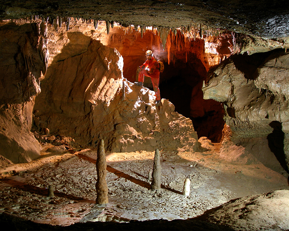
Back in the main passage after about 25 feet you come to another heavily decorated area with a very nice column in the middle of the passage. There is flowstone, bacon, soda straws, and stalactites. Most of the formations are to the right-higher side with the shape of the passage conforming to the dip of the bedrock. The passage is about 10 feet high near this point.
After another 10 feet the passage starts to quickly trend upward with the ceiling height about 3 feet. There are a lot of bacon formations in this area with lots of flowstone. Passage shape flattens out here but heads into very thin beds. Lots of slabs occur in this area. The passage pinches out in the thin beds. At this point the cave is 8 feet above the entrance.
The whole cave contains many formations. But several areas are very heavily decorated with just about every type of speleothem. You have to be especially careful as you travel through the cave in many areas.
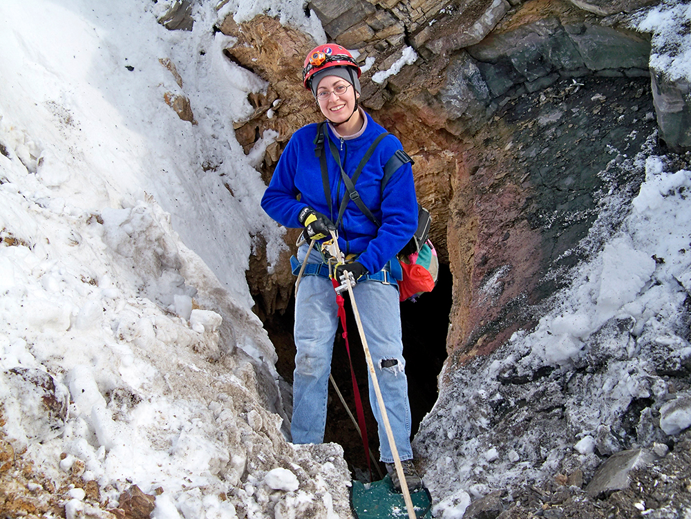
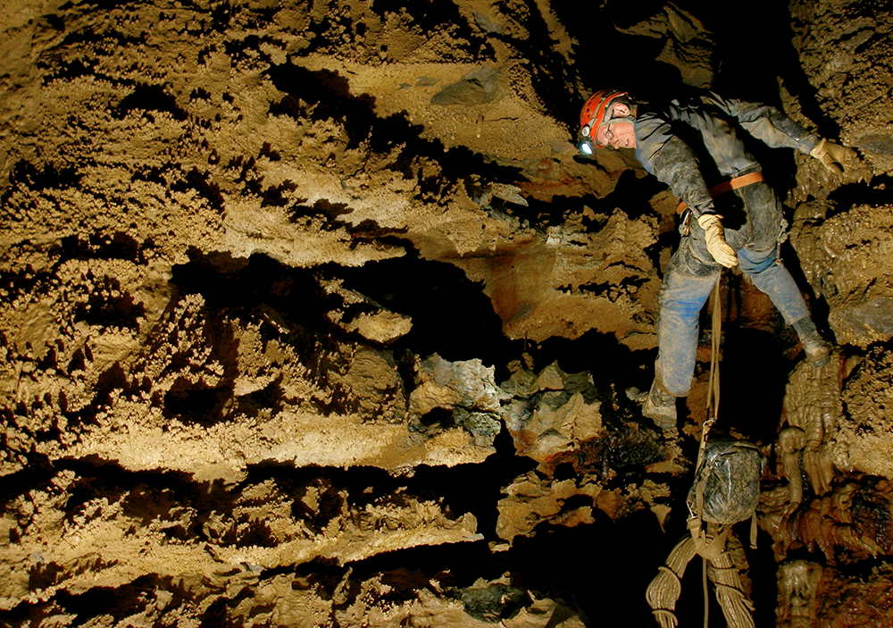
This is me going down the 17-foot entrance drop. Photo by Bob Bennett
Here is Terry Mcclanathan rappelling into the cave.
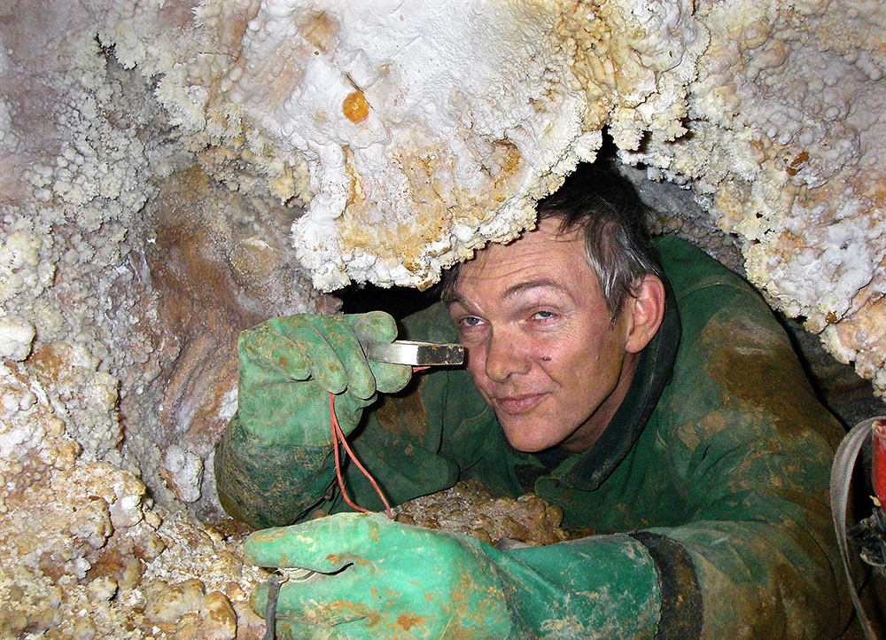
Kurt Waldron reads instruments in a pretty constriction.
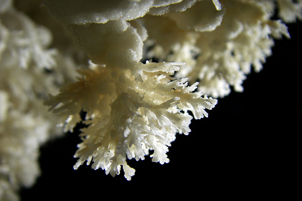
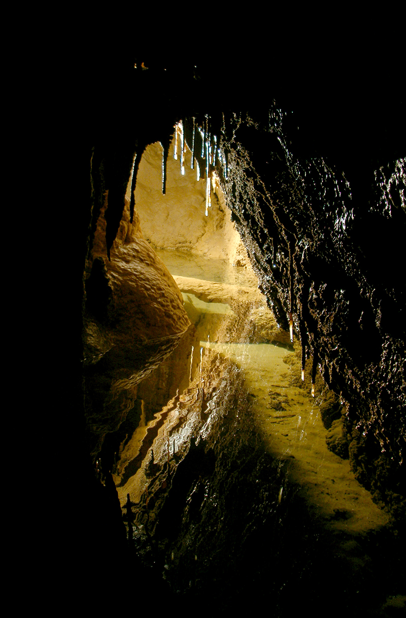
Some of the beautiful frostwork found everywhere in the cave.
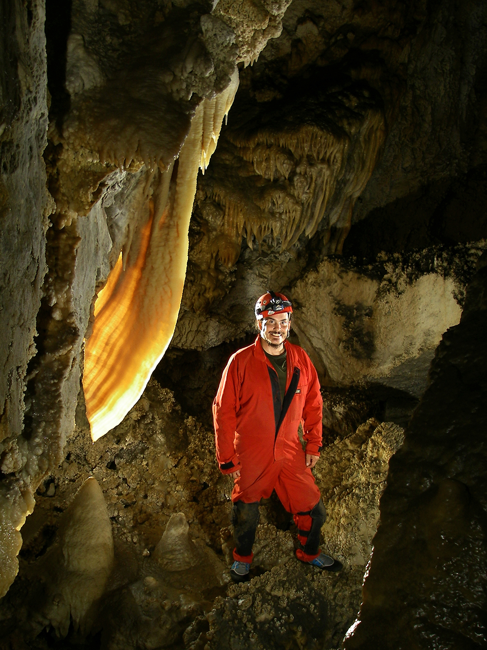
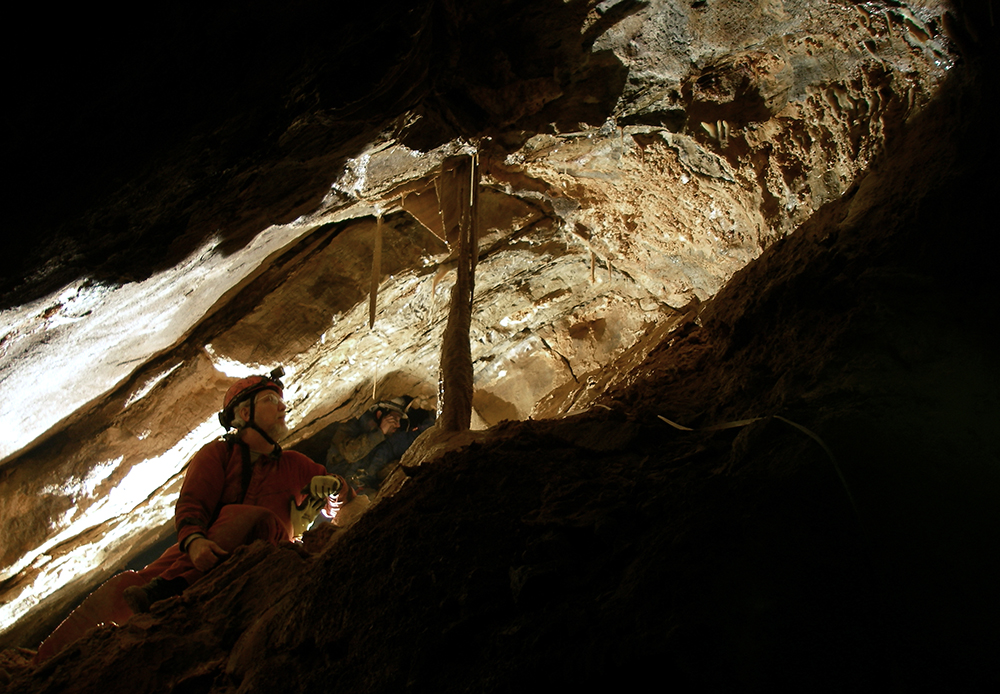
Bob Bennett sits near the end of the cave, checking out a column.
Dwight Livingston checks to see if the rope or his cave pack he is hauling, while ascending rope, is snagged during a project trip into Shoveleater Cave.
Dwight stands next to the Vomitorium in SEC.
Shoveleater Cave Trip Report
Harper Canyon Detail
by Dwight Livingston
No survey.
Killed multiple leads.
Photographed decorated areas.
Chris Coates, Nikki Fox and I entered about 11:15 am and went directly to the northern Harper canyon overlook via Ohio Bypass. We found the rigging at the HHH bolt climb a bit worn at a rub point, just enough to make a floppy place in the rope. Our first objective was to rig a hole at the bottom of the Harper Canyon Drop (86 foot drop) and check leads along the northern wall of the pit below it. We found numerous holes to the domes below, both to the upper pit of the E Drop series and to the Devils Drop bridge, which includes the top of the upper E Drop. The wall that separates the two pits is intriguingly thin, and a number of irregular holes connects them. A lot of loose rock at the top complicates any sort of rig there. It seemed that no amount of grooming would make it clean enough to be safe. The danger is aggravated by a areas of crumbling bedrock.
Our first rig took the survey laterally north, over the top small breakdown piles and down to a waterfall shelf. From that point the entire north end of the canyon can be seen. There are no leads, except up into the shallow breakdown of Harper Canyon. We surveyed it to define that end of the pit profile.
We next rigged down to the “bridge” at the Devils Drop. This was a safe route but on top of flowstone, not suitable for a permanent rig. Once down, we rigged a tether to go over to the TBJ survey. In the far pit Chris checked the canyon lead and found it too tight after going in more than twenty feet. I sketched plan and profile. (Today I also tracked down some shot data that was entered incorrectly, so now TBJ1A lies in the correct position – another mystery cleared up.)
Nikki brought camera and flash gear, so we took a couple of pictures of Mark Minton in the Harper Canyon ceiling, then traveled over to the BR survey to photograph the Vomitorium wall. There are some interesting red formations in another part of BR, and Nikki shot some of those also.
Our last objective was to check the location of station HCT3, which looked a bit out of place when I tried to fit that survey into the working map. I shot it from above the balcony and tied to BAT 11.
That done, we crawled out to station CFA7 and squeezed out onto Robins Roost, an interesting shelf high in Harper Canyon, directly above TBJ survey and the E Drops. It was here that Bob Robins, on his way up the Harper Canyon Drop, accidentally got off rope early and was therefore first to walk the shelf. We had a fine view of Bob Alderson as he descended spider-like from a hole in the ceiling.
It was a short trip out from there. I exited first, around 11:30, and surprised a group of deer near the entrance. They bounded a few yards off and stood, five pairs of white eyes in the black woods.
This weekend we put up a new copy of the working map, one that Gordon was kind enough to print last minute. Among other discussions of what proper name should be used for this and that part of the cave, I talked with a few people about what to call the cave itself. I’ve seen both “Shoveleater Cave” and “Shovel Eater Cave” in use, and for me there is value both in original names and in common usage. In this case it seems the original Shoveleater Cave is preferred, so I will be changing the documentation accordingly.
I believe it would be helpful to have a permanent rig from the Devils Drop bridge up to Harper canyon. This would make an easier route out from Germany Well, via Ohio Bypass. It probably should go over the breakdown and not though it, to avoid the rockfall hazard.